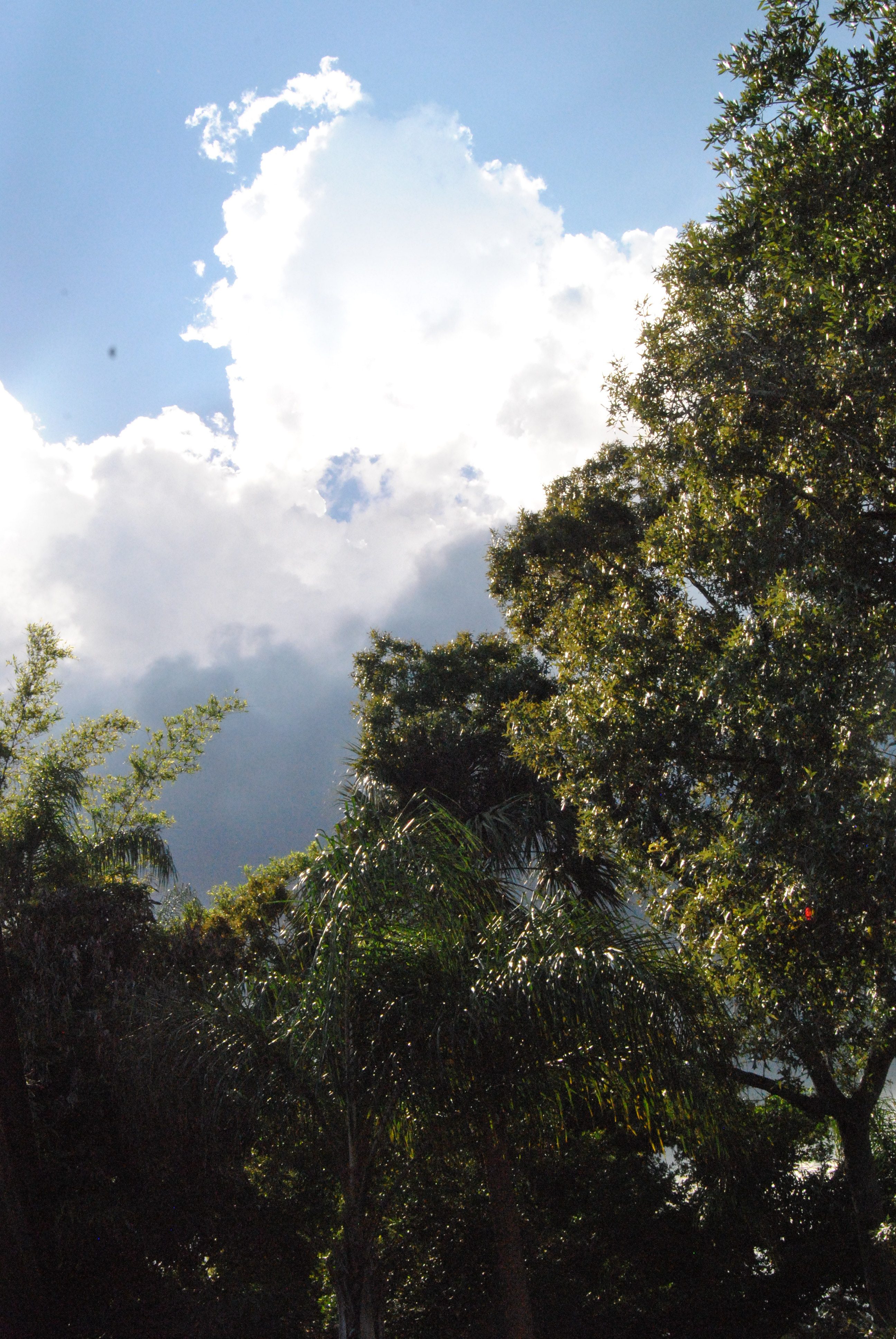
Big Scrub, Ocala National Forest – 1997 Land Rover Discovery XD hill climb

Ocala National Forest: Is the Sothern-most National Forest in the continental U.S. and the largest protected track of sand pine scrub habitat in the state!
Today we’re gonna look a bit at the National Forest and then wander about the towns in this area to see what is available for you to plan your outing—Hint you can do a day and then go home—you can camp at the National Park or In other areas and I’m sure I can find a hotel or B&B somewhere out there.
So let’s hit the road
This area is described in the literature as acidic and is is called the Ocesola Low by geologists. The soil here is not great to grow things.

The Yearling – Gregory Peck – Jane Wyman – Lux Radio Theater

The east bank of the road shelved suddenly. It dropped below him twenty feet to a spring. The bank was dense with magnolia and loblolly bay, sweet gum and gray-barked ash. He went down to the spring in the cool darkness of their shadows. A sharp pleasure came over him. This was a secret and a lovely place.
From the Yearling.
We’ve discussed Marjorie Kinnan Rawlings and her place in this area in prior blogs and if you read her book The Yearling she makes it very clear how terrible this land was on the settlers who came here and lived with the harshness of the land.
It was in actuality the concept of this land being so useless and of so little value that it was set aside as a National Forest in 1908–and it was the oldest such forest east of the Mississippi.
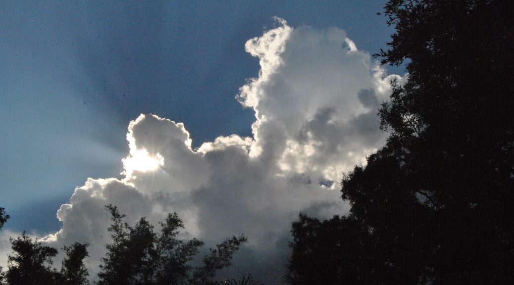
And though many think this land disappointing and undistinguished. Yet as I said in the title it has been called Florida’s most unique ecosystem, and thus must merrits some attention.
Sand Pines and Springs

Ocala National Forest (Florida State) : The largest concentration of sand pine in the United States
The sandy island that makes up this area was created during the ice age when the sea was at a much higher level than it is today. And the sand that makes up the area is practically pure quartz that arrived here from errosions in Georgia and Alabama.
Here the Sand Pines flourish over smatterings of sand with live oaks, saw pamettos and the like growing as well. You can tell where the soil is improved as rather than the Sand Pine there are studier taller pines with wire grass at their base.
When I lead a group of Ladies (we called it Ladies Day Out) on this route several years ago the goverment allowed private companies to harvest up to 30% of the forestry trees–but this wasn’t a bad thing as the revenue helped maintain the area and keep it active for visitors and a haven for it’s furry friends—but in addition to that the cut area was reseeded, and in the case of this forest a new healthier group of sand pine was the final reward.
The Harvesting on Federal Lands

Florida State Road 19
This road goes allong the Ocklawaha Ridge —this isn’t as dynamic as it sounds —or wasn’t to me—and is rise is barely perceptible–but it is enough to seperate the Ocklawaha River to the west from the St. Johns a bit to the east.
FLORIDA BLACK BEAR SCENIC ROUTE 19: ROAD TRIP
Rodman Dam Road is the entry road off 19 to the left. It’s Boy’s Ranch Road to your right.
RODMAN RECREATION AREA
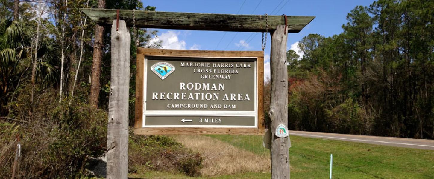
Rodman Campground State Park Palatka, Florida
Rodman Recreational Area
On site of former Rodman Dam
410 Rodman Dam Road
Palatka FL 32177
The area is now a state park–the dam is an eastern retaining embarkment —it was a relatively small structure with just four spill gates controlling the flow out of the reservoir.
The upstream reservoir side of the earthen dam, adjacent to the spillway, provides excellent bank fishing opportunities.
The recreation area is located approximately 0.75 miles west of the Rodman Campground on Rodman Dam Road.
Click here For
BUCKMAN LOCK – ST. JOHNS LOOP NORTH & SOUTH

19 passes over another of the large bridges built to allow the canal boats and barges to pass under.
19 takes a north eastern turn
Continue following it until you get to the first road on your right which is Buckman Lock Rd. (about 2 miles from Rodman road) Turn down this road –right of course.
BUCKMAN LOCK AND FLORIDA TRAIL TRAILHEAD
Buckman Lock
210 Buckman Lock Rd., Palatka, FL 32177
South of Palatka off of SR19
This consists of a huge piece of masonry designed to lower vessels from the reservoir to the level of the St. Johns River.
Return to 19 and turn left back the way you came.
Just as you are coming to where 19 turns south you’ll see 310 a county road heading west—-continue on 310

Rodman Lumber Co. saw mill.
The town of Rodman use to be located at this intersection. During the first quarter of the 20th century there was a thriving community here of at least a few thousand people that grew up around a large sawmill and turpentine still here. The Ocklawaha Valley Railroad carried logs to the mill and there was a busy hotel and two stores in the town as well as two churches (Florida was segregated at the time) and two schools. But the timber gave out and the train by passed the town—case and town closed.
A Brief History of RodmanWhich includes a history of the town and the plantation which you will pass on your way
|

Rodman Plantation
298 County Road 310
Palatka, FL 32177
which is the road–actually a drive way for the business on the right off 310 The area is marked with a small sign west of that drive way—-I don’t know if they’d mind if you did a drive back and by to take a peek—I do know the property is now available for weddings, parties and company meetings etc.
Other wise continue on 310 up the Ocklawaha Flood Plain. The river was removed (submerged?) in the Rodman Reservoir (which is out of sight except for a brief view to the left. ) This road use to be the route of the old Ocklawha Valley Railroad, completed in 1912 to connect Ocala with Palatka.
I’ve read that this was a friendly old fashioned railroad where the crew would stop the train so passengers could pick fruit. It made most of its money hauling lumber, so when the wood was logged out then the rail road began to fail. Interestingly enough they at one time replaced steam engines with gas busses on the tracks–these were two busses with their rear ends welded together.
When 310 ends in 8 miles turn left on
CR 315
and in about 6 miles you’ll be
in
Orange Springs, Florida 🐊 Remote Backwoods And Wild Florida

Orange Springs
The railroad promised great things for Orange Springs which was so happy with its completion that it threw a big party with ice cream (a big deal in Florida at the time) as well as food and spirits. It was reportedly a hot town in the new town that went well into the night
Ivie’s Country Cafe
. The rail road contributed to the town both in its growth and its return to a sleepy little town once the trains no longer frequented the area.
James W. Townsend House (Orange Springs, Florida)
Continue on
Here in town you’ll cross 21 coming from the north
and
then 315 turns left—south follow it until you come to the first street on your right
Turn right—-east on Spring St./
Also CR 318
We are now leaving th Ocklawaha flat into higher, slightly rolling terrain.
Marjorie Kinnan Rawlings and Cracker Culture. A film by Monica Berra. April, 2013
There is a story that Marjorie Rawlings may have been driving here alone late one night as she returned from a hunting trip in the 1930’s. Exhausted—or some say he may have tipped a few—she evidentally fell asleep and crashed into a forrest or thru it as though she missed hitting some trees she did manageed getting the car well bogged down. She ended walking about 2 milles to get help but she ended having to driv home thru some thick fog which was according to her more frightening than the crash.
We’ll follow her route now thru
Citra and beyond
Driving through Citra, Florida

View showing sign for The Orange Shop at
18545 U.S. Highway 301
GRAND LAKE RV & GOLF RESORT

Welcome sign, off U.S. 301
Buds and Blossoms
in Citra, Florida.
The town was named by a group of men, among them Wartman, Harris, White, Hoyt and Rev P.P. Bishop. As citrus production was their main thing Rev. Bishop suggested the name Citra, which was accepted unaminously.
Restaurants in Citra

Citra Methodist Episcopal Church-South
|
Armstrong House
|
|
|
|

Armstrong House (Citra, Florida)
But hey now we’re following Rawling’s route now so
We turn right—north on US 301
where she turned —during her day this was a two lane road,
she would have continued on until she reached the small (maybe tiny?) settlement of Island Grove.
We’ll explore Island Grove an end but our beginning as well as the home of the
Yearling Lady
and
Doc Hollywood’s
alternative to Hollywood
and beyond
next week as we continue our trip thru the much lesser visited back roads and small towns of Florida